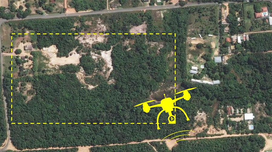
Many cities in Latin America and the Caribbean (LAC) face the challenge of rapid informal urban growth, which prevents them from providing basic services to their citizens and have a sustainable urban development. Today, drones, artificial intelligence (AI) and machine learning (ML) provide key information for cities to better understand informal growth patterns and improve … [Read more...] about Monitoring informal settlement growth in Manaus, Brazil with drones
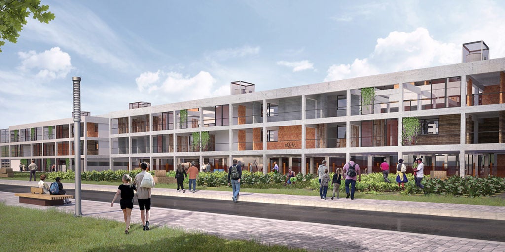
Building adequate streets and public spaces in the central area of Campo Grande, Brazil

In the 1960s, Jane Jacobs conducted an investigation into the reasons why several neighborhoods, especially in the center of cities in the United States, were in decline. Which led her to write one of the most influential books on the human approach to urban planning. In this publication, the author emphasized the importance of promoting adequate and dynamic (or interesting) … [Read more...] about Building adequate streets and public spaces in the central area of Campo Grande, Brazil
DATUM: a resource center for participatory urban transit mapping — The case of Santiago de los Caballeros

Growing urban populations in Latin American and Caribbean (LAC) cities put an enormous pressure on transport systems, especially in sprawling cities with increasingly far-flung residents. In this context it is essential to facilitate the design of public infrastructure in an efficient and participatory way. Community mapping of urban infrastructure can play a central role. In … [Read more...] about DATUM: a resource center for participatory urban transit mapping — The case of Santiago de los Caballeros
Municipalities and social housing: urban financing tools to alleviate the deficit
In the countries of Latin America and the Caribbean, national governments are overwhelmed by the quantitative and qualitative housing deficits. In most countries it would take at least 50 years of sustained investments to just ease the quantitative deficit. The solution seems like a gigantic task. This situation requires a more active role of the municipalities in the provision … [Read more...] about Municipalities and social housing: urban financing tools to alleviate the deficit
Urban machine learning model: automatic classification of buildings and structures
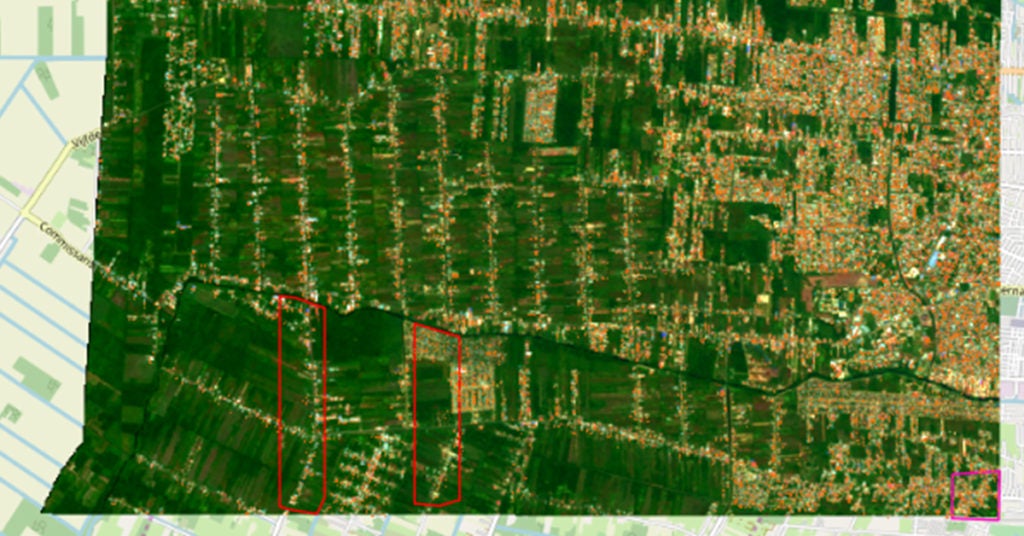
City planners often lack updated digital maps of existing buildings and structures. The Building Detection Model can automatically generate a basic map of buildings from satellite images. It uses semantic segmentation, which is the process of assigning each pixel in an image into a category; in this case, the categories are ‘building’ or ‘not building’. This allows planners to … [Read more...] about Urban machine learning model: automatic classification of buildings and structures