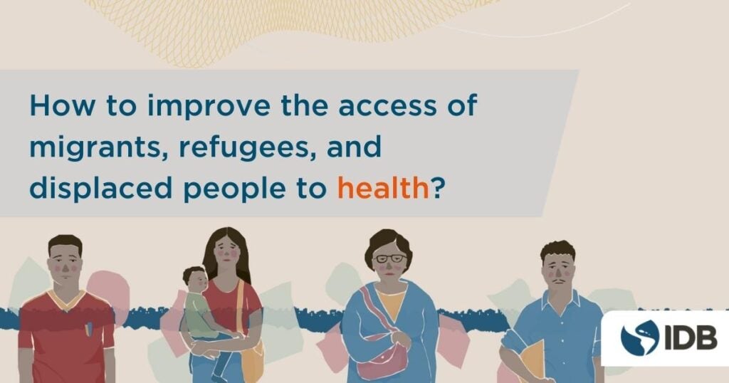
Every year on June 20, the world celebrates World Refugee Day to honor refugees and displaced people around the world. This year, the focus will be on the right to seek protection. Every person in the world has the right to seek protection, no matter who they are, where they come from or when they have had to flee, including the protection of their health needs. Health is a … [Read more...] about How to improve the access of migrants, refugees, and displaced people to health?
Patricio Zambrano Barragán
Patricio Zambrano-Barragán was a Housing and Urban Development Specialist at the Inter-American Development Bank. He currently led urban development projects throughout Latin America and the Caribbean, including housing policy and finance projects; resilient urban infrastructure; and geospatial and civic data analytics. Prior to joining the IDB, he led research on territorial management and climate-ready infrastructure at the Massachusetts Institute of Technology and the Natural Resources Defense Council (NRDC). Patricio has worked with the Office of the Deputy Mayor in Quito, Ecuador; with the New York City Department of Housing Preservation and Development (HPD) on distressed asset financing; and as a management consultant with New York-based Katzenbach Partners. Patricio is a doctoral candidate in City and Regional Planning at the University of Pennsylvania, and holds a Master's in City and Regional Planning from the Massachusetts Institute of Technology and a B.A. in Political Science from Yale University.
How does housing design affect people’s well-being?
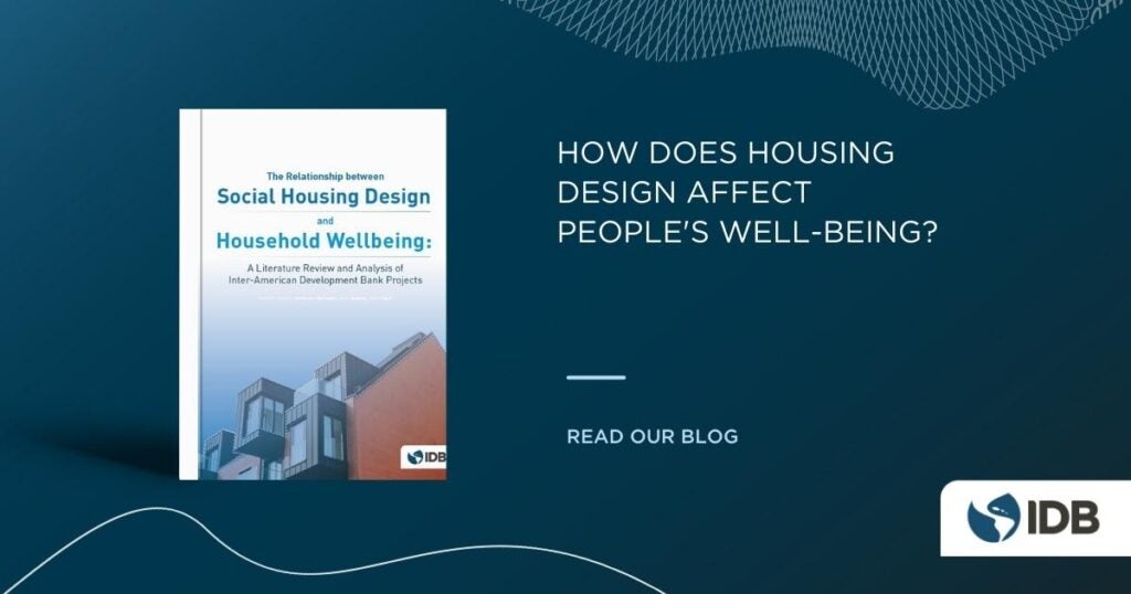
Have you ever wondered how, aspects of the design of a home and its neighborhood, affect people's well-being? Elements such as the height and architectural style of a building, the construction materials of a house, the density of the city, and the presence of public spaces, among others, are an elementary part to be considered by anyone working in urban planning and … [Read more...] about How does housing design affect people’s well-being?
Can Artificial Intelligence help reducing urban informality? Discover MAIIA, the new IDB software
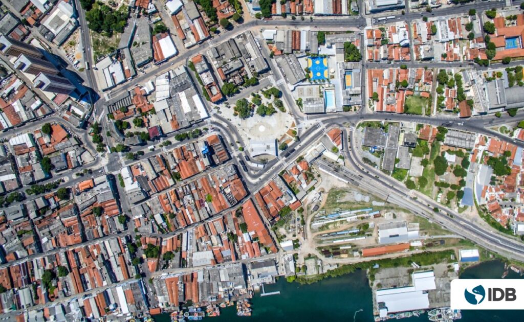
The expansion of informal settlements is one of the problems of Latin America and the Caribbean´s (LAC) cities. At least 25% of its population lives in one of them. Why does this phenomenon happen? Can it be reversed? Can technology help us reducing urban informality? In this blog we answer these questions, and, in addition, we will show how a project supported by the IDB … [Read more...] about Can Artificial Intelligence help reducing urban informality? Discover MAIIA, the new IDB software
How can Artificial Intelligence give a voice to vulnerable populations?
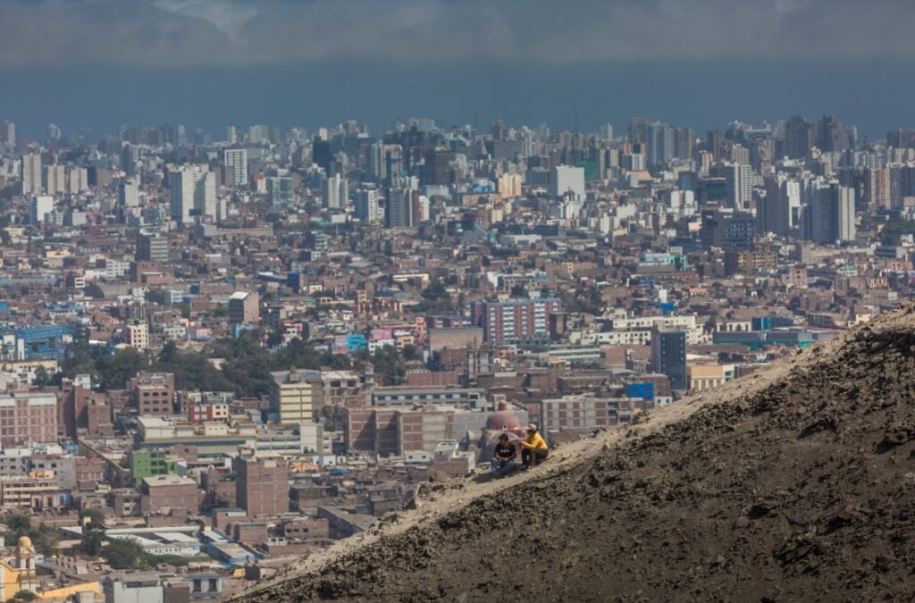
It seems clear that the Covid-19 pandemic has created great challenges in the life and governance of our cities. However, these challenges are not the same for all the inhabitants of Latin America and the Caribbean. The pandemic has hit the most vulnerable in particular. A part of the population of our cities, which sometimes tends to be unnoticed, are migrants. Migrants … [Read more...] about How can Artificial Intelligence give a voice to vulnerable populations?
DATUM: a resource center for participatory urban transit mapping — The case of Santiago de los Caballeros

Growing urban populations in Latin American and Caribbean (LAC) cities put an enormous pressure on transport systems, especially in sprawling cities with increasingly far-flung residents. In this context it is essential to facilitate the design of public infrastructure in an efficient and participatory way. Community mapping of urban infrastructure can play a central role. In … [Read more...] about DATUM: a resource center for participatory urban transit mapping — The case of Santiago de los Caballeros