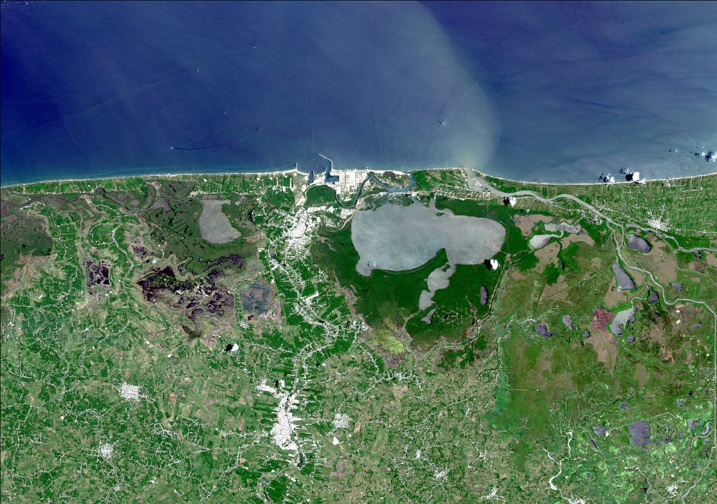
Los datos de Observación de la Tierra constituyen la herramienta que más se adapta para monitorear áreas remotas en las que la toma de muestras in situ puede resultar muy compleja o incluso imposible. Se puede acceder a un panorama general de la misma región únicamente mediante información satelital. Estas tecnologías están siendo utilizadas por la Unidad de Salvaguardias … [Lee más...] about ¿En busca de mejorar proyectos de desarrollo? La nueva tecnología satelital puede ofrecer una solución
Cristian Flueraru
Cristian Flueraru
Cristian Flueraru is a GIS and Remote Sensing Specialist. He received his MSc degree in Environmental Studies from the University of Bucharest, Faculty of Geography, with a thesis on `Determination of the Snowcover Extent Using Remote Sensing`. He has participated in the update of the Corine Land Cover in Italy, on the Arno river basin. He has been involved in multiple research projects focused on applied remote sensing such as: urban monitoring service for the World Bank, drought monitoring service in Romania, and forest loss monitoring in Romania, among others.


