UrbanPy is a python-based tool offered in an open-source fashion as part of the Open Urban Planning Toolbox. It was designed to support urban planning by bringing together specific local data focused on geographic regions defined by municipal authorities, making it useful across various contexts. The tool was developed by the Inter-American Development Bank (IDB) in collaboration with the Universidad del Pacífico and the Economic Development Office of the Municipality of Lima. Among its features, UrbanPy incorporates Meta’s AI-powered population maps, which aim to provide helpful information for supporting investment and development programs throughout Latin America and elsewhere.
Challenges in urban planning
During the COVID-19 pandemic, urban planners struggled to measure and address accessibility issues, specifically those enabling the delivery of public health services. Metropolitan governments in Latin America needed immediate solutions to plan the distribution of care at the intra-urban level, but it was difficult to know where services such as medical aid, medicines, and financial assistance should be deployed. Responding to these challenges, the IDB’s Urban Development and Housing Division created UrbanPy, which includes high-resolution mapping techniques, information on population density, as well as the location of key points of interest.
This tool can produce detailed accessibility metrics and heat maps that indicate the degree of isolation from services provided by pharmacies, hospitals, banks, and schools, allowing for tailored delivery of interventions. This tool was initially developed by IDB’s City Lab to support the city of Lima, Peru in identifying areas lacking essential services during the COVID-19. However, the tool has since grown in its application potential, covering many additional projects including those focused on education and infrastructure.
How UrbanPy Works
UrbanPy functions as an all-encompassing tool for urban planners, offering a range of automated analytical capabilities. It allows users to:
- Download open-source spatial data: city/state/region limits, local road networks, and key points of interest such as hospitals, pharmacies, banks & ATMs, and other services.
- Allow for the use of a grid system or administrative boundaries as spatial units.
- Origin-destination travel matrix calculation by any mode using a routing API
- Obtain travel time from spatial units to the closest facilities for any service, producing accessibility indices
- Consolidate the results as tables and/or shapefiles (georeferenced datasets)
- Visualize the results as interactive maps
Data for Good’s AI-Powered Population Density Maps
A new key data source integrated into UrbanPy is the High-Resolution Population Density Maps provided by Meta’s Data for Good program. These maps leverage artificial intelligence to estimate the number of people living within 30-meter grid tiles worldwide, by using advanced computer vision techniques to identify structures in satellite imagery and then combining these findings with census data. In addition to total population counts, these maps also provide demographic breakdowns, such as the number of children under five, women of reproductive age, and elderly populations in very small areas. Meta’s AI-powered population maps include estimates for populations in both urban and rural settings and are openly available for over 160 countries.
UrbanPy allows users to easily download Data for Good’s High-Resolution Population Density Maps for any country, state, or city of interest. Users can then combine population counts with UrbanPy’s accessibility indices to provide highly granular maps that pinpoint where there are areas of people living with scarce access to essential services.
Impact and Future Potential
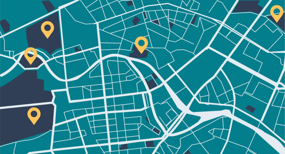
UrbanPy was used during the early days of the COVID-19 pandemic in support of the City of Lima, Peru to prioritize emergency assistance. This map showcases UrbanPy’s calculations for travel times to the nearest pharmacy in the environs of Lima, Peru:

Over the past several years, the tool’s use has expanded to include several projects in Brazil, including IDB operations to support the expansion of school infrastructure, helping government officials in identifying the optimal location for new public schools in the State of Pará, a region with more than 8 million inhabitants. UrbanPy and its associated population estimates from Meta have also been used to assess school accessibility in the Amazon Region and calculate measures such as the average travel time to school among school-aged children.

Collaborations between multilateral institutions like IDB and technology companies in the form of open-source tooling allow cutting edge analytical approaches and advances in artificial intelligence to directly benefit communities. By combining Meta’s AI-powered population maps into a tool developed by regional experts, urban planners throughout Latin America can integrate global advances in mapping and transportation into their work. UrbanPy’s open-source nature also allows local officials to tailor it to their own unique settings and solve problems for their specific contexts.
How will you use UrbanPy? Tell us in the comments below.
thanks for info.
Para análisis de densidad de ciudades peruanas
Para analisis de Gobierno Gracias por su ayuda