UrbanPy is a python-based tool offered in an open-source fashion as part of the Open Urban Planning Toolbox. It was designed to support urban planning by bringing together specific local data focused on geographic regions defined by municipal authorities, making it useful across various contexts. The tool was developed by the Inter-American Development Bank (IDB) in … [Read more...] about Open-Source technology and AI-powered Data to strengthen Urban Planning
Geospatial Data
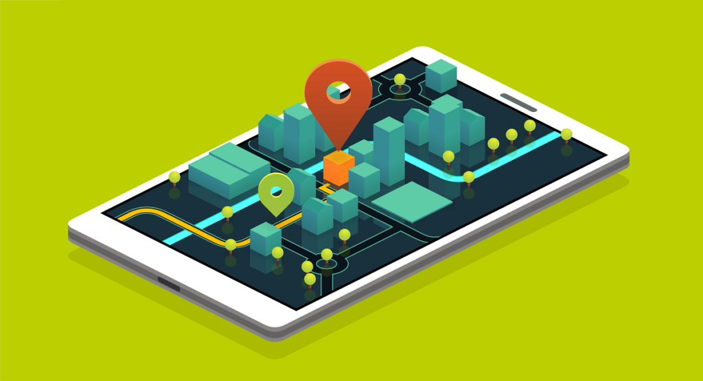
The term "geospatial data" refers to information that describes geographic aspects, including objects, their position and their interactions within a certain geographic area. We are witnessing an increase in the implementation of new technologies that use these data, and due to their magnitude and scope (eg. detecting trade routes between two or more municipalities), they are now vital for the creation of strategies that encourage social and economic development.
This tag brings together all the articles in Abierto al Público on geospatial data, including available tools, open databases, and projects that support or make use of this type of data.
Presenting the Open Urban Planning Toolbox
These open-source tools leverage machine learning and crowdsourced data for urban development in Latin America and the Caribbean “We don’t have data on that.” We hear these words repeatedly while working on urban development projects with cities and countries in Latin America and the Caribbean. This is problematic when we consider the region’s population is already 80% … [Read more...] about Presenting the Open Urban Planning Toolbox
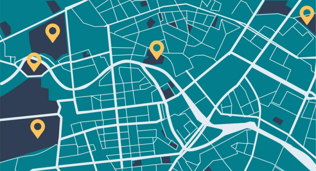
4 examples of the power of location data

Geospatial data and analysis, can help to better monitor and plan cities as well as understand the risk of climate change, natural disasters and other crisis in order to create comprehensive strategies to monitor events as they happen. As well as this, it helps to create plans for effective humanitarian response, and protect vulnerable communities who are at more risk of … [Read more...] about 4 examples of the power of location data