What was once developed for research on academic services in Latin America and the Caribbean, today responds to needs even in New York, where the reuse of this particular tool has supported improving the access and efficiency of health services.
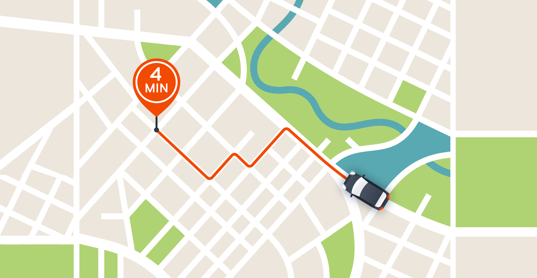
In Washington, D.C., Rodrigo Azuero, fiscal management specialist of the Inter-American Development Bank (IDB), created Gmapsdistance to compute calculations in a list of millions of observations involving Google Maps. This open source application connects the R program with Google Maps, which allows you to calculate distances considering traffic in the area and analyzing four different modes of transport: on foot, by bicycle, by car or by public transport.
The original objective of Gmapsdistance was to serve a research project related to accessibility of mentoring and academic services in Latin America and the Caribbean. However, a few hours away, in New York, this code also became a tool of wide use. Tabassum Z. Insaf, Director of Research at the Bureau of Environmental and Occupational Epidemiology in New York, was looking for geolocalization technologies which could be useful to calculate distances between clinics when she came across this application. She decided to reuse it to better connect the hospitals and medical services of the Big Apple with patients.
An algorithm to improve health service access
“One of the first projects where I started using this application was with a registry of patients with congenital heart disease, which we have been monitoring,” Insaf said. Previously, the team looked at the coordinates of the residential address and the nearest clinic, to calculate a distance in a straight line that would calculate the distance in miles between the two points, without considering traffic or the means of transport.
Because these patients are highly likely to require multiple treatments and specialized medical attention it was important to establish whether they had adequate access to specialized care clinics.
Thus, the Gmapsdistance code allowed them to cross the location of patients with the specialized cardiac centers that were in the state and calculate their transfer times, considering variables such as traffic and public transport.
“This code allows us to access Google databases and observe the driving and transit times between a set of coordinates. So we got more information than we had before, which I think was a very good addition to our project, ” Insaf said.
Gmapsdistance continues to be reused by Insaf’s team in other projects in New York. “It has helped us to see access to medical care among pregnant women with heart disease, because these women must go to specialized birth centers,” she said.
This algorithm has also been able to reuse it to determine how close are patients with muscular dystrophy to specialized services for their needs, such as neuromuscular clinics, cardiopulmonary centers, etc. “These clinics could be geographically distributed and we are trying to assess the burden of care for each patient. Gmapsdistance allows us to see multiple clinics at the same time. We are currently expanding this project to other states that are funded through the same grant mechanism and we will share our codes and experiences with them,” she said.
An initiative to share more open-source software
The open nature of Gmapsdistance is something that this algorithm has in common with the dozens of other digital tools and software available through the IDB initiative, Code for Development. In the tool catalog, anyone in the world can search and find a solution that allows them to reuse and adapt to a new context, just like Insaf did.
The opportunities for reusing a code such as Gmapsdistance are endless. Therefore, Insaf decided to expand its work in the study of congenital heart defects to analyze access to specialized care among women and other populations with specific needs such as these. The power to calculate the distance between clinics allows to support in the strengthening of several medical services. “Gmapsdistance is easy to use and we have successfully adapted it for multiple projects and shared codes with our partners for their projects,” Insaf said.
And you, how would you reuse Gmapsdistance? Discover the possibilities opened by the reuse of open source through our Code for Development initiative on the website.
By Janaina Goulart, Senior Communications Specialist, IDB


Leave a Reply