Este artículo está también disponible en / This post is also available in: Spanish
There is consensus in considering Latin America and the Caribbean (LAC) as the second most urbanized region in the world, with around 80% of its population living in cities and the remaining 20% in rural areas. However, what would happen if we were to change, or adapt, the parameters for defining what can be considered urban territory?
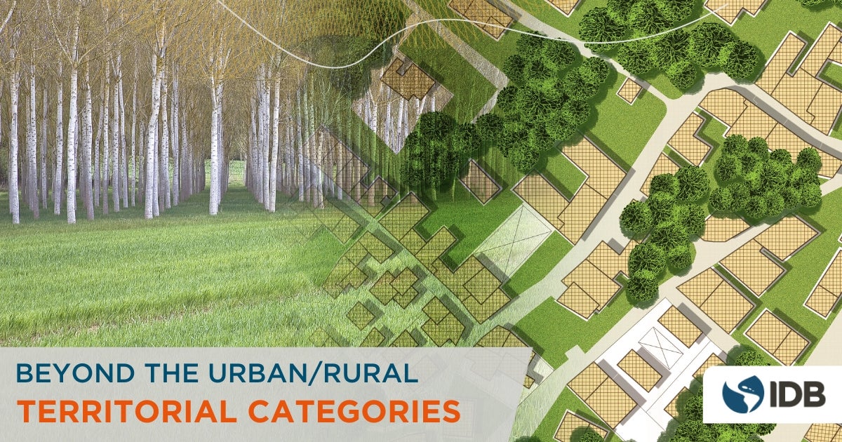
The dualistic classification (if it is not urban, then it is rural) serves to facilitate the understanding of territorial reality. However, we run the risk of caricaturing the development dynamics that occur in an environment. For this reason, in LAC countries where territorial analysis exercises have been carried out using wider ranges of categories of analysis of degrees of urbanization, we find classifications that are closer to reality. These ranges include a very rich gradient of intermediate municipalities that do not necessarily respond to characteristics defined by the dualistic approach of urbanization/rurality. In this context, the concept of peri-urban has been developed, which makes it possible to connect realities that tend to merge and which we will discuss in a later entry.
With this article we begin today a series of blogs whose objective is to bring to the table the importance of designing territorial public policies that take into account the wealth of information of the different territorial gradients as well as the territorial dynamics that transcend political-administrative boundaries.
A practical example to better understand territorial gradients
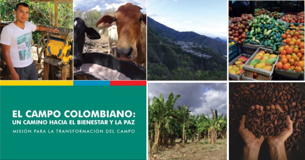
To provide a better understanding of the importance of this topic, we invite you to travel to Colombia. In 2015, a study was conducted in the country to better understand its territorial reality. This study, called Mission For the Transformation of the Countryside found that the country was divided into four categories according to the urbanization-rurality relationship:
- Cities and agglomerations
- Intermediate
- Rural
- Dispersed rural
The study concluded that close to 60% of the country’s municipalities should be considered rural, and that more than 30% of the country’s population would be rural. This situation contradicts the data of the traditional classification, which considers that only 26% of the population resides in rural areas.

This analysis also brought other binding issues to the table. One was that each of the urbanization-rurality classifications had different indicators of multidimensional poverty and income poverty. It also showed how indicators of social inclusion and productive inclusion varied for the capeceras and dispersed population within the same jurisdiction. As part of this study, moreover, RIMISP found that the dispersed population may live close to population centers (it estimated that in 2014 82.5% of the dispersed population lived within 20 km of an urban core of 20,000 or more inhabitants, and 65.6% within 10 km).
Why should we go beyond exclusionary territorial categorization?
The immediate result of classifying complex realities into exclusive categories (urban/rural, for example) leads to the design of recipes that homogenize particularities and, therefore, to the inefficiency of public policies to address the problems inherent to the nature and specificities of the territory.
On the contrary, one of the benefits of broad territorial categorization (as in the case of Colombia) is that, in addition to offering solutions that are closer to reality (with a territorial approach), when they are approached from the perspective of regional convergence and gap closure, they make it possible to define needs, design specific indicators and, above all, assign responsible sectors and investments to focus on the problems encountered.
Territorial classification according to their level of development
In 2015, Colombia’s National Planning Department conducted an exercise to classify the country’s municipalities and departments into 7 categories according to their development environment (robust, intermediate, or early) and their urban functionality. This exercise found great disparities in terms of quality of life, economic, environmental, institutional and security between territorial entities and therefore different public policy responses.
Within the same jurisdiction we also see this tendency, both in land use planning based on a classification that divides the territory into urban and rural land, and in territorial planning, which usually ends where the political-administrative limits of the territorial jurisdictions end, without taking into account the dynamics that affect the territories themselves but occur outside of them.

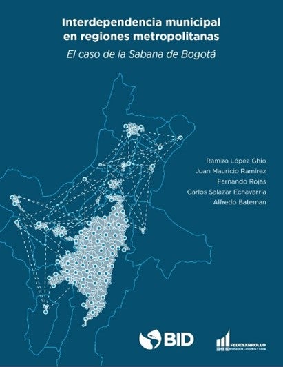
An IDB study (in Spanish) on Municipal Interdependencies showed how the exchanges that take place between economic agents from different political-administrative jurisdictions to satisfy a need (e.g., the provision of goods and services) led to the establishment of interrelationships that link the demand of one jurisdiction with the supply of the other, producing externalities that, despite being caused within the limits of one, affect the other.
The exercise made it possible to measure the nature, magnitude, and direction of these interdependencies and to recommend public policies to accelerate the interdependencies that generate positive externalities and to regulate those that generate negative externalities, as well as proposals for territorial associativity that allow economies of scale and synergies in the benefits of the implementation of public policies.
The IDB is committed to territorial diversity
It is essential that the design of territorial public policies consider the wealth of information of the different territorial gradients. Moreover, it is also important that decision makers understand that these policies are implemented in territories with complexities that transcend simplifying approaches to reality.
To achieve this objective, the IDB is committed to a territorial and multisectoral approach in each of its operations. In particular, the Housing and Urban Development Division has the Supramunicipal Thematic Group, whose purpose is to address territorial phenomena considering the particularities of the environment and regardless of the political-administrative boundaries in which they occur.
In future articles of this series we will address in more detail some of the territorial issues that transcend the traditional territorial categories: urban-rural links, territorial typologies and taxonomies, functional areas, peri-urban territories and municipal interdependencies. Do not miss our blog series!


Leave a Reply