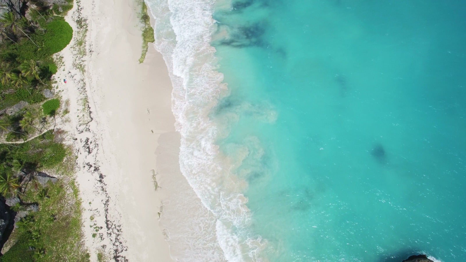
The natural boundary between water and land is much blurrier than it appears on a map. If you live near a pristine natural coastline or beach, go there with a map in hand. If you compare the actual sea/land boundary you observe, with the map, you will see how they do not match (or just how vague the boundary is).
Seawater is constantly moving due to the complex effects of the Earth’s gravity, its rotation, the Moon’s gravitational pull, and the Sun’s energy. This perennial, profound, rhythmically diverse and complex natural planetary interaction between seawater and land has been shaping, re-shaping, and evolving shorelines for hundreds of millions of years. Drawing the sea/land boundary line only represents a snapshot in time, of coastal changes that have been occurring over millennia.
The dynamics of such natural phenomena on a scale of hundreds of millions of years, unique to this planet, sculpts, shapes, and creates beautiful landscapes. Take Barbados, for example. The coastal areas of this island nation have been in a proverbial “battle” between the sea and the land, and as a result are blessed with beautiful beaches, dunes, marshes, and rocky headlands. Its west and south coasts are notably home to sea turtles, marine mammals, fish, seabirds, and coastal vegetation, creating a diverse ecosystem. Inevitably, people have historically also settled in these areas, and in recent years, industries (e.g., tourism) have further developed, taking advantage of its unique characteristics. In summary, the socio-economic and industrial development of Barbados is both based and dependent on the extremely delicate natural dynamics and ecosystems that have evolved over a long period of time.
This fine but delicate balance is being challenged by the effects of climate change, such as sea level rise, changing rainfall patterns, and more intense and frequent tropical storms. This means that Barbados’ already sensitive coastal areas have become increasingly more vulnerable in recent years. An IDB study undertaken in 2020 indicates that Barbados could lose US$30 million per year in economic inflows due to coastal climate vulnerability. The report further notes that this potential loss could increase as much as 6% by 2050 due to climate change.
Integrated Coastal Zone Management (ICZM)
Public policy frameworks for balancing the sustainable use of natural resources and socio-economic development in coastal areas are commonly referred to as coastal zone management (CZM) or integrated coastal zone management (ICZM). The origins of CZM or ICZM as public policy frameworks can be found in the Coastal Zone Management Act passed by the U.S. Congress in 1972. Internationally, CZM/ICZM as a public policy approach was also introduced at the 1992 Global Earth Summit. Since then, many countries, including in the Caribbean, have established ICZM public policy frameworks. However, only a very limited number of countries have incorporated a climate resilience perspective within them. No climate resilient ICZM public policy framework typology or methodological approach has yet, been established at the global level.
Given this situation, the IDB, in partnership with the World Resources Institute (WRI), collaboratively developed a framework tool: Climate-Resilient Integrated Coastal Zone Management Performance Indicators in 2020 to verify the implementation of ICZM public policies that are resilient to climate risks. This establishes four principal categories necessary to achieve climate risk resilient sustainable socioeconomic development in coastal areas with more than 100 questions. The four categories are:
- Legal and institutional framework.
- Data collection, analysis, and use of science-based information.
- Planning and implementation of ICZM priority investment.
- Sustainable access to financial resources.
Diagnostics using this tool were first conducted in Belize in 2020. It was subsequently used to inform policy discussions during project formulation and implementation of IDB-financed coastal investment projects in the Bahamas and Dominican Republic (BH-L1043 and DR-L1154, respectively). Currently, the methodology is also being used as an input in the formulation of a new coastal loan project in Barbados (BA-L1059). It will also be used in the near future for policy dialogue through a technical cooperation project in Trinidad and Tobago (TT-T1117).
A transition from conventional to climate resilient ICZM of necessity, demands that traditional ICZM institutional repertoires embrace additional new technical skills, competencies, and approaches. Already, there are nascent, encouraging, futuristic climate resilient ICZM signs in countries e.g. Barbados, where incorporation of probabilistic risk assessment of coastal hazards is being contemplated for application in conditional, site specific coastal development permitting and in the design of future resilient coastal-infra public investments. Preliminary work to begin the development of valuation models and incorporation of natural capital valuation accounting within their ICZM is similarly encouraging.
Importantly and in due time, the good practices of each country, systematically identified through the application of the Climate-Resilient ICZM performance Indicator, will be shared throughout the Caribbean and Latin-American region. In this way, through the efforts, experiences, and lessons of coastal states, it is envisaged that a more fulsome climate resilience perspective will gradually be incorporated into contemporary ICZM public policies, ultimately leading to more stable development of national socio-economic and industrial activities against the climate change challenges experienced in their coastal zones.
We are committed to continue to contribute to and learn from these frontline-coastal-state-efforts for climate-resilient ICZM.


Leave a Reply