
In the Caribbean, it is interesting to use the Geographic Information System (GIS) to explore and analyze unexploited data of the social sector. Using GIS data from the National Oceanographic and Atmospheric Administration on tropical storms and integrating it with household surveys leads us to answer questions related to the welfare effects of tropical storms. Upscaling the … [Read more...] about “Gone With the Wind”, Although Data Are Still There
natural disasters
Some useful tools for the Caribbean when a natural disaster occurs
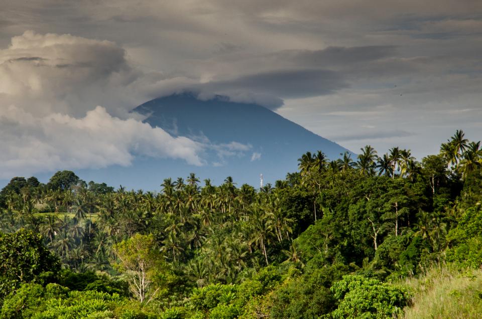
Photo courtesy of Stocksnap As the Caribbean region braced for this year’s hurricane season, the Inter-American Development Bank was putting the finishing touches on the Risk Monitor, a comprehensive tool to help regional policymakers consider relevant evaluation data in order to reduce the risks associated with disasters. The tool is not yet published online, but various IDB … [Read more...] about Some useful tools for the Caribbean when a natural disaster occurs
Can we manage a natural disaster?

Photo courtesy of NASA With hurricane season underway in Latin America and the Caribbean, it is time for a discussion about managing risks. Our region is exposed to a variety of hazards, including floods, earthquakes, landslides, volcanic eruptions, droughts and hurricanes. In the last 35 years, the region has experienced more than 1,300 disasters that have claimed some … [Read more...] about Can we manage a natural disaster?
Counting Fishes…Or Tap Taps !
Photo of Haitian Tap Tap, courtesy of Wikimedia Commons, User Teemeah I want to share with you an experience that convinced me that in Haiti a better future is possible. My story begins shortly after the 2010 earthquake. Those days were quite memorable for the impassable roads filed with debris, destroyed buildings and those on the verge of collapsing, many … [Read more...] about Counting Fishes…Or Tap Taps !