The United Nations Biodiversity Conference (COP15) held in Montreal in December 2022 concluded with strong support for ocean conservation and biodiversity. Currently, 17% of land and 8% of marine areas are under protection and there was strong consensus on the need for effective conservation and management of at least 30% of the world’s land, coastal areas, and oceans.
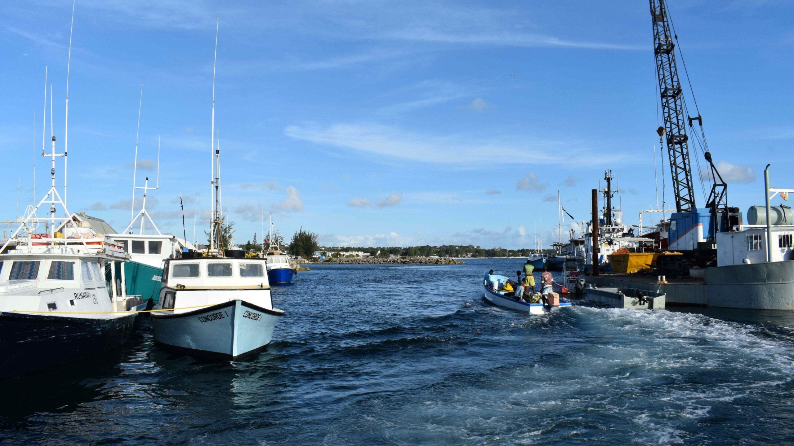
Barbados has taken one step closer to this commitment with the launch of its Marine Spatial Planning (MSP) process in January 2023 under the leadership of its Coastal Zone Management Unit (CZMU). This key milestone is one of the many steps the Government will take to develop and designate Marine Protected Areas.
Marine Spatial Plans are a value-added tool to foster engaged policies for a paradigm shift with an integrated, multisectoral and participatory dynamic. The results allow for ecological, economic, and social targets that enhance resilience and inclusiveness.
To support the Government of Barbados, we have identified the following key areas that are essential in any marine spatial planning process:
1. Develop a knowledge-based approach
To develop robust marine spatial plans, countries must use the best available data and globally recognized best practices. However, they usually face many challenges as the information required for the preparation, establishment and monitoring of their marine spatial plans can be scattered, deficient or non-existent. For this reason, it is important to map and identify the existing data and the main entities responsible, as well as gaps and how they can be filled.
It is essential to have access to accurate and up-to-date information about the environment and its uses. Data can come from in situ sources (e.g. surveys and monitoring), remote sensing (satellite and UAV imagery) and numerical modelling. This information is used to create spatial maps which provide a comprehensive overview of the environment, its uses and potential conflicts.
Data can be expensive to collect and there are often gaps in existing datasets if they are not updated or completed due to limited resources. To overcome the challenge of limited data, a MSP Data Roadmap can be used to identify gaps in knowledge and prioritize data collection activities that meet the plan’s objectives. For example, one key challenge for this component can rely on the need for significant human and financial resources to assess natural capital. And while countries may request grants to enhance how they manage data; they will need to build local capacity to sustainably continue gathering and analyzing the data needed to develop an MSP.
2. Ensure a climate-biodiversity smart Marine Spatial Plan
The climate crisis is real for small island developing states (SIDs) and aligning MSPs to their National Biodiversity Strategies and Action Plans (NBSAPs) and Nationally Determined Contributions (NDCs) will be critical to ensure coherency and build upon existing knowledge and commitments.
The mitigation of carbon footprints and resilience must be built, first by finding solutions that will strengthen ecosystems and communities as they face the impact of climate change; and by pursuing efforts to document and protect biodiversity; recognize the ocean’s capacity to be a major carbon sink; and explore mitigation options such as offshore renewables. Furthermore, reducing coastal groups’ exposure to climate change and finding new systems to protect or diversify their income is essential. Ocean-based solutions need to be low-carbon and resilience-driven as they will also foster community ownership of the MSP process.
3. Promote dialogue and effective participation of stakeholders
A key component of a marine spatial planning process and the resulting plan is engagement and constant dialogue with the different users of the marine space, understanding their incentives and requests so as to include them in the planning and map synergies. The Government will engage with academia, NGOs, the private sector and more with the objective of finding the most suitable allocation of the marine space that will allow for conservation to take place as well as for sustainable development to be created.
4. Facilitate the coordinated support of all agencies
International partners are eager to help and continue building capacities. With this in mind, the Marine Spatial Plan will serve as an important reference resource in aligning all efforts to the national vision and catalyze the needed human and financial resources, while ensuring local ownership.
As a leading development partner of the region, the IDB is uniquely positioned to promote knowledge-sharing and lessons learned on ocean policy and marine spatial planning. Such coordination efforts could benefit ongoing marine protection and conservation actions in countries like Barbados, Belize and Ecuador.
The Ocean Decade is taking shape and we need bold moves, like the commitment being demonstrated by Barbados. It is critical to have the appropriate policies to protect the ocean and to better assess it as a nature capital asset. Learn more about the promises and pitfalls of developing ocean policy in this hybrid panel discussion hosted by the IDB and the Barbados Coastal Zone Management Unit (CZMU) on World Oceans Day, June 8, 2023.
Also check out:
- Barbados taking its Blue commitments ahead with innovative deal
- 3 projects to celebrate International Oceans Day
- Environmental Finance recognizes IDB’s financial transactions in Barbados and Uruguay
- Strengthening environmental institutional capacity in Barbados
Leave a Reply