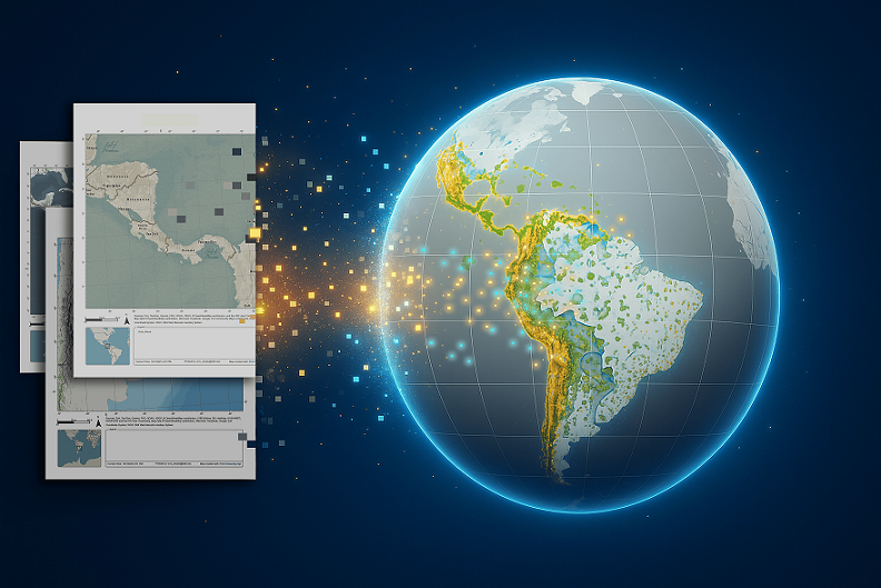
Managing projects that must meet environmental and social standards in Latin America and the Caribbean has been a challenge historically because of fragmented data and the lack of common standards. Without reliable and up-to-date spatial information, it is difficult to understand the territorial context, identify risks, and design sustainable interventions. The Inter-American … [Read more...] about From the Map to the Evidence: How the IDB’s ES GeoHub Is Transforming Territorial Analysis
Andrés Moreno Vásquez
Andrés is an architect specializing in Geographic Information Systems. He is part of the Technology and Innovation Group within the Environmental and Social Solutions Division at the Inter-American Development Bank. He holds a master's degree in Cartographic Geotechnologies for Engineering and Architecture, with a specialization in Real Estate Valuation. He has more than 10 years of professional experience leading the adoption of geospatial technologies in engineering and architecture teams in both the public and private sectors. His interest in geospatial technology, 3D modeling, and urban planning motivates him to explore new ways to contribute to the region's development through technological innovation and the building of collective knowledge.