Drones: an affordable solution for aerial imaging
[gdlr_video url=”https://www.youtube.com/watch?v=ifXmlZwntVk&feature=0&showinfo=0&autoplay=1″]
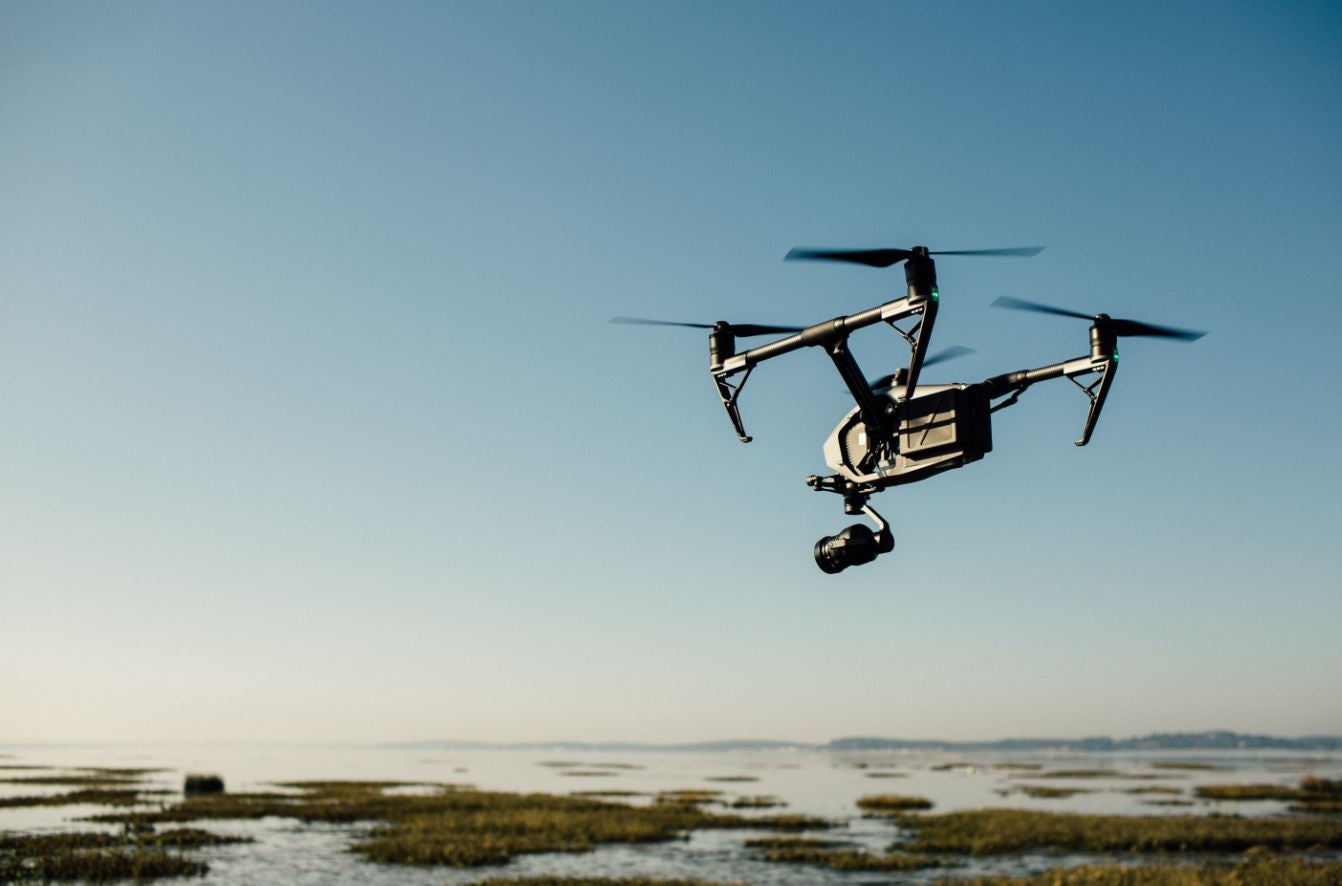
A not so long time ago aerial mapping used to be a sophisticated, complex and very expensive tool typically used in high scale endeavors always backed by copious funds and abundant budgets. Luckily with the advent of small and low-cost Unmanned Aerial Vehicles (UAVs) – aka “Drones” – there is now a broad range of options for suitable UAVs and imagery processing services. As a result, aerial imagery can be acquired and produced significantly faster and with a fraction of the cost compared to the options available before. Flying to collect data is not a new discovery. What is considered groundbreaking are the achieved advances in aerial imagery processing and the interaction with the generated maps. This practice has grown exponentially in recent years.
Drones have the particularity of being able to fly at lower altitudes and at a slower speed than any traditional aircraft, allowing higher quality aerial imagery to be collected. Consequently, more and more companies are entering the market of geo-referenced orthomosaics: 3D digital elevation models created from aerial images obtained by drones. Usages are varied whether it is for pre-feasibility studies or surveys in technical, social and/or environmental sectors. Regulatory frameworks for the use of UAVs are still being defined, hence it is recommended to check the current space limitations with local authorities to avoid circumstances as seen with the drone that slipped past security into the White House.
A drone in Haiti?
 A consultancy carried out last September provided support to the Transport Division within IDB’s Country Department of Haiti. Support was provided through the collection of aerial footage along the alignment of the National Route No. 7 (RN-7), currently under construction in the south-western peninsula of Haiti (Departments of Grande Anse and Sud). RN-7 is located approximately 170 kilometers from Port-au-Prince, and connects the cities of Les Cayes in the south, and Jérémie in the north of this peninsula. This road is a key element of the national highway system, which is expected to connect for the first time Haiti’s largest urban centers with modern paved roads up to international standards.
However, the rehabilitation efforts for RN-7 have been severely challenged in many of its multiple critical sections due to the fact the alignment crosses a sinuous and rugged mountain range with scarce existing accesses and a dense yet fragile biodiversity. This consultancy has allowed us to assess construction progress and, most importantly, the monitoring and measurement of impacts and the supervision of the practices carried out by the executing firms and their compliance with the Bank’s policies and safeguards.
Ultimately, following the Haitian pilot of using aerial imagery in our projects will offer the ability to witness and provide oversight of the vast construction efforts from a new and unprecedented perspective and record progress for both, current analyses and future references. It will allow us incorporate new tools of analysis in our traditional work facilitating: the identification of impacts prior implementation phases, the preparation of graphics and displays overlays to demonstrate the scope of works, and the preparation of sequences before/after to show the final impacts of the project.
Thanks to the Haitian experience we have recognized the importance and relevance of UAVs in development projects. With the introduction of these technologies, we will exercise more successful surveillance and control, which to date were traditionally arduous and time consuming tasks. This initiative helps to promote innovation in a field where in the Haitian context, constant monitoring has proven to be of paramount importance.
* Guest bloggers: Alejandro Fros is a Civil Engineer specialized in Public Policies. Elkin Bello is a Civil Engineer specialized in transportation and sustainable development. Both worked for the IDB in transport projects in Haiti.
Leave a Reply